Weather
Contrary to popular myth, it does not always rain in Bellingham, WA! On average, Bellingham receives 36 inches of measurable precipitation per year with November and January tending to be the rainiest. That’s less than Miami (61 inches), New York City (42 inches), and Boston (43 inches).
Whatcom County reaches from sea level in Blaine, WA up to the ski area of Mt. Baker, so temperatures for this region will vary based on altitude and other factors. In July, the average high in Bellingham is 71 degrees with a low of 54 degrees. In January, the average drops from a high of 45 degrees to a low of 32 degrees.
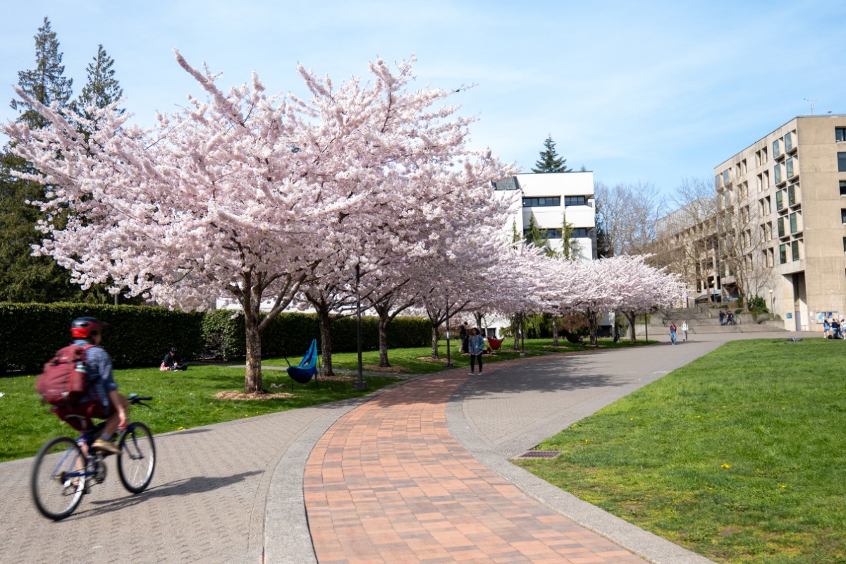
From the darkest days of winter to the extended light in the summer, find ways to take advantage of a Pacific Northwest adventure no matter the weather.

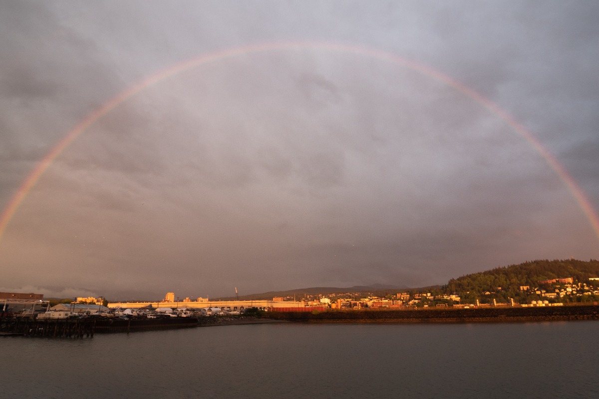
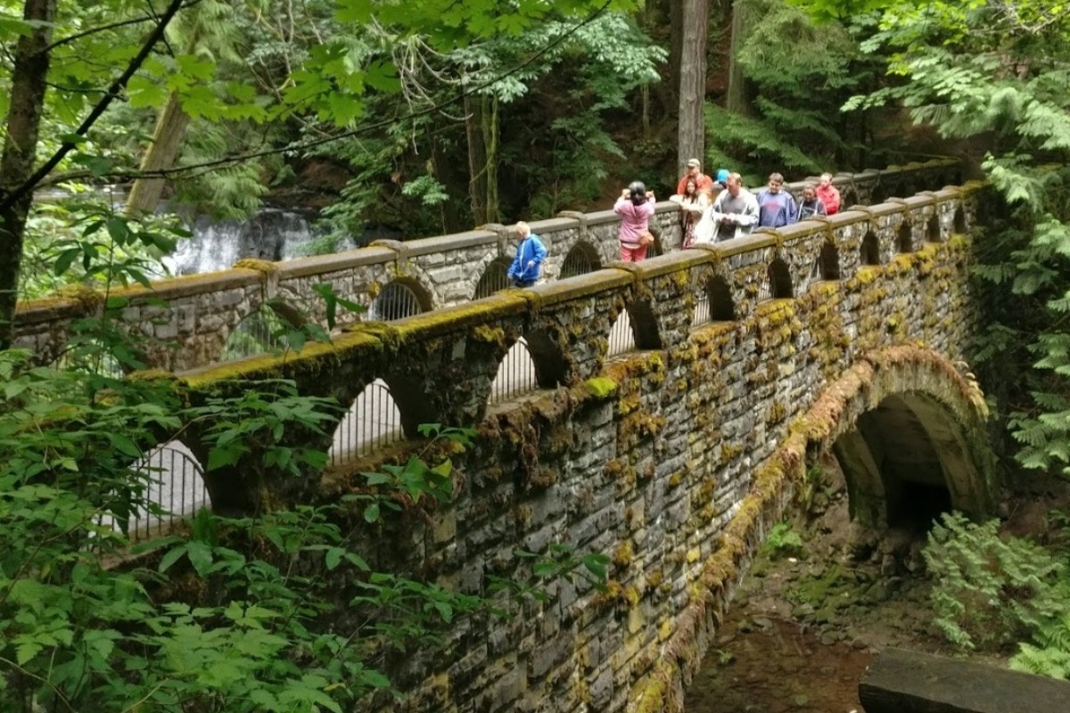
The Pacific Northwest is known for cloudy days and rain, but that doesn't stop anyone in Bellingham from having adventures! If you visit during a storm, here are some ideas for what and where to explore.

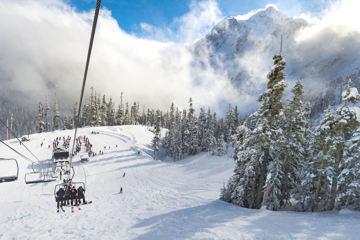
Did you know the Mt. Baker Ski Area holds the record for the most snowfall in a single season (1998-99) at 1,140 inches (95 feet or 29 meters)?
Bellingham does not receive much snow on average annually, but when you visit you are less than 2 hours from powder and one of the last independently owned ski areas in the country.


